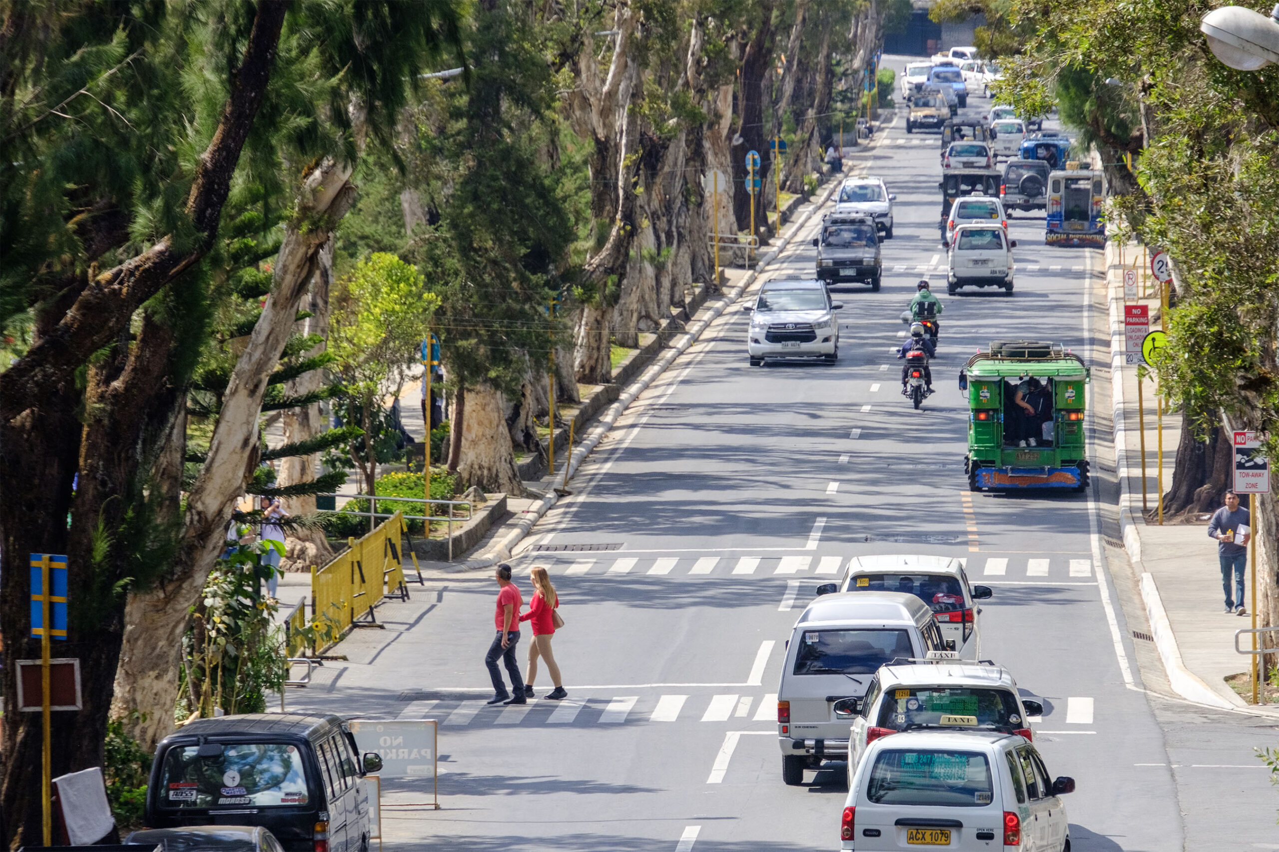
BAGUIO CITY – The Baguio City Council has enacted an ordinance adopting a Local Public Transport Route Plan (LPTRP) for the City of Baguio.
This LPTRP consolidates multiple and duplicated routes of Public Utility Jeepneys (PUJs) into 29 rationalized routes, with two new developmental routes.
Principally authored by Councilor Benny Bomogao, this ordinance has been under review by the city council’s Committee on Public Utilities, Transportation, and Traffic Legislation since 2021.
This consolidation enables systematic management and monitoring by government agencies and aims to offer jeepney commuters a convenient transport mode with broader and accessible routes, facilitating travel from home to their destinations and back.
Additionally, the LPTRP seeks to ensure that jeepney operators and drivers receive fair income and benefits in compliance with existing laws, rules, and regulations.
Among the rationalized routes under the LPTRP are as follows:
- Mines View Line
- Navy Base-Pacdal Liteng Line
- Pacdal-Maria Basa-Tiptone Line
- Country Club-Lucnab-Eastern Link Line
- Loakan Airport-EPZA Line
- PNR-Green Water-Military Cut off-Hillside-Gabriela Silang-Dagsian Line
- Camp John Hay-Scout Barrio Line
- BGH-Campo Sioco Line
- City Camp District Line
- PMA-Kias Line
- Kadaclan-Happy Hallow Line
- Kennon Line
- Bakakeng Line
- Crystal Cave Line
- Dontogan-Sto. Tomas Line
- Palispis-Bengao-Sto. Nino-Kitma Line
- Guisad Valley Line
- Fairview Line
- Pinsao Pilot Line
- Asin-San Luis Line
- Lourdes Dominican line
- Quezon Hill Line
- San Carlos Heights Line
- Irisan-Quirino Highway Lines 1 and 2
- Quirino Hill Line
- Pinget Line
- Aurora Hill District Line
- Trancoville District Line
- Honeymoon-Holy Ghost-Brookside Line
Additionally, Circumferential Line 1 follows a route that includes Quirino Highway (PHISCI), Muñoz Drive, Asin Road, Jared Pine Bend, Puyat Avenue, Palispis Highway, Balacbac_Bakakeng_Camp 7 Bypass Road, Kennon Road, and Loakan Road (PEZA), covering various areas in the city and vice versa.
On the other hand, Circumferential Line 2 traverses Bell Church, Magsaysay Avenue, M. Roxas Road, Lower Brookside, Leonard Wood Road, Illusorio Drive, South Drive, and Loakan Road (PEZA), also operating in both directions.
For tourism purposes, Route 1 of the Tourism Line includes stops at Mines View, Camp John Hay, the Philippine Military Academy (PMA), SM City Baguio, and Burnham Park. Route 2 of the Tourism Line covers Burnham Park, Lourdes Grotto, Tam-awan Village, and the Stone Kingdom, providing access to various tourist attractions within the city.
According to the ordinance, the LPTRP can be changed as needed to allow modification, expansion, and updating of the routes, whether by making them shorter, longer, or changing them altogether.
These adjustments will be decided by the Traffic and Transportation Management Division-City Engineering Office (TTMD-CEO) or a similar authorized office, with the goal of matching transportation needs and city development while following rules and regulations.
The ordinance also states that only qualified operators, following existing rules and regulations, will receive franchises. The selection process will be transparent, competitive, and fair.
The Land Transportation Franchising and Regulatory Board (LTFRB) will encourage market competition within the routes covered by the LPTRP and prevent monopolistic practices by operators.
If there are more applicants than available units for a route, the LTFRB will ensure even distribution of franchises among qualified operators.
Under the ordinance, all operators with a franchise must comply with local transportation and traffic regulations, including following designated stops, terminals, transfer areas, and relevant city ordinances along the route.
The ordinance also specifies the sanctions or penalties that the LTFRB can impose on operators who violate the LPTRP or engage in actions harmful to the public’s interests.
These penalties may include suspending or canceling the franchise.
The ordinance has been transmitted to the City Mayor’s Office for Mayor Benjamin Magalong’s signature before implementation.
The LPTRP is a comprehensive document that outlines the network of routes, the modes of transportation to be utilized, and the specific quantity of units required per mode to effectively deliver land transport services.
These details serve as the minimum criteria for the issuance of Public Utility Vehicle (PUV) franchises.
The LPTRP, as required by national directives, has been reviewed and found compliant by the LTFRB Regional Office.
This compliance allows the city to proceed with the transparent selection of operators and the issuance of franchises for public utility jeepneys.
Share
